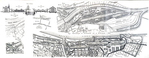
Bremerhaven Port
Bremerhaven, a port on the Weser, near 10 miles from its mouth, was founded by Bremen in 1827 on ground acquired from Hanover, and soon became a thriving place. It has extensive docks and quays, and may be regarded as the seaport of Bremen.
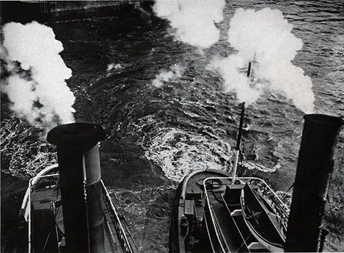
SS Bremen Arriving at Bremerhaven circa 1932. | GGA Image ID # 14327df5bb
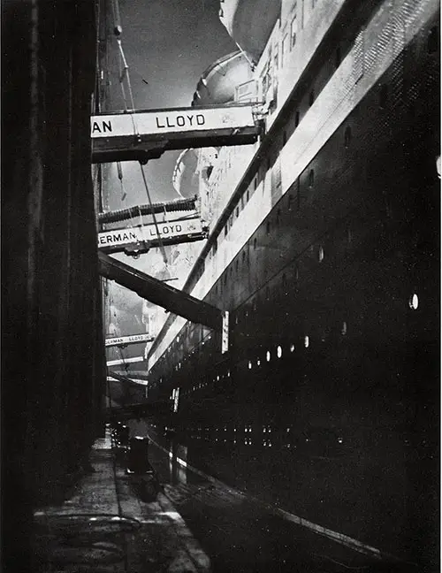
The SS Europa Prepares for Midnight Sailing from Bremerhaven circa 1932. | GGA Image ID # 1432f22852
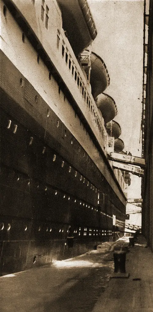
The SS Bremen Docked at Bremerhaven circa 1929. | GGA Image ID # 1432f37170
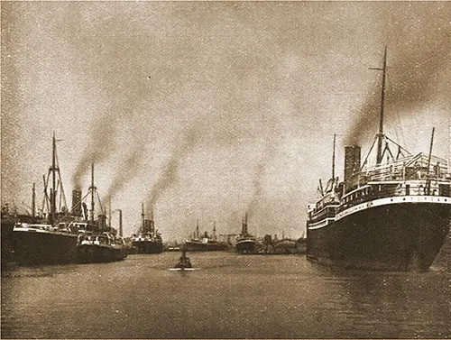
A View of Bremerhaven at the Kaiserhafen circa 1927. | GGA Image ID # 1432fb27de
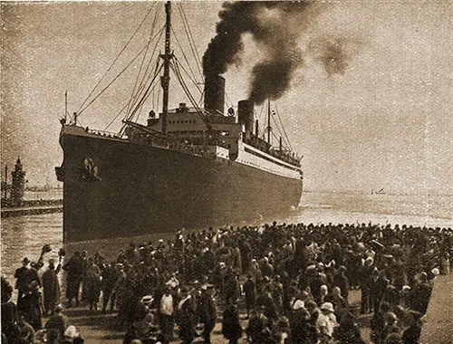
Arrival of the SS Columbus of the Norddeutcher Lloyd at Bremerhaven circa 1927. | GGA Image ID # 14332782f1
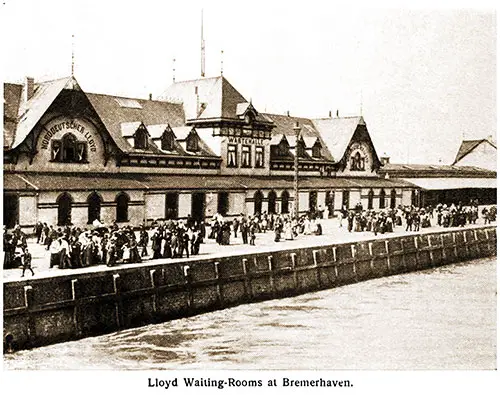
Norddeutscher Lloyd Waiting Rooms at Bremerhaven. Norddeutscher Lloyd History and Organziation, 1908. | GGA Image ID # 1ddbf7f1b2
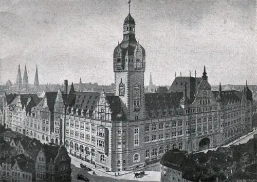
Norddeutscher Lloyd Administration Building in Bremen. SS Columbus Passenger List, 20 October 1928. | GGA Image ID # 1ddc2eed3a
Approach to Bremerhaven, Germany (1911)
After sighting Borkum lightship, the passenger observes the low sandy German coast on the left, upon which are a number of well-known watering places, among these Nordemey. Entering the Weser River the steamer passes to the left of the outer lightship and four miles above comes to the famous Key buoy.
From this point both sides of the river are marked with channel buoys, black can buoys on the left and red spar buoys on the right. Six miles from Key buoy, on the left, is the Red Sand lighthouse, one of the most famous lighthouses in the world, on account of its construction.
It has, properly, no foundation, being built on the shifting sands. A huge caisson was sunk in the sand, and this was filled with stone and cement, and upon this as a foundation the lighthouse was built.
Three miles above on the right is the Bremen lightship, and five and a half miles further on the right is Hohenweg lighthouse. From here the channel makes nearly a right angle, which goes under the name of Dwarrsgatt. This extends from the Hohenweg lighthouse to Meyer’s Ledge lighthouse, a distance of about five miles.
At Meyer’s Ledge, the river makes another turn to the right, and the observer can note on the left the dykes and sea wall built to protect the low land from the sea.
This sea wall extends nearly the entire distance from Cuxhaven to Bremen, and those on board of steamships can see over the wall into the green country beyond, with its houses, spires and villages, its roads, its meadows and its pastures,
Nine miles above Meyer’s Ledge are four strong fortresses, two on each side of the river, Brinkama Hof Nos. 1 and 2 on the left, and Lang Lutjensand Nos. 1 and 2 on the right.
Bremerhaven lies three miles beyond. The village opposite Bremerhaven is called Blexen. The land on both sides of the river is low and flat, protected by sea walls, over which fine views of the country are obtained.
The Docks at Bremerhaven (1905)
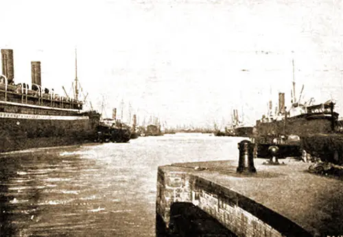
A New Dock at Bremerhaven. | GGA Image ID # 1ddc4f1240
A dry dock, wherein ships may undergo the necessary repairs and receive the thorough overhauling necessary after long voyages constitutes one of the most important features of every large harbor.
They are of two kinds, floating docks for raising ships out of the water, and ordinary graving docks which are pumped dry by powerful pumps, leaving the vessel supported on blocks and held in position by shores.
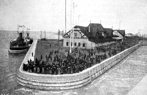
Dock Entrance and Landing Stage at Bremerhaven. | GGA Image ID # 1ddc5b8aa7
There are a number of dry docks at Bremerhaven, among them being the new Imperial Dock, the largest dry dock in Germany. These docks comprise:—four dry docks of G. Seebeck Co.'s yard, measuring respectively in length 6.4 m, 110 m, 112 m, and 72 m, two of them being provided with divisions, so that they can receive two ships at a time; a Norddeutscher Lloyd dock, also with two divisions of 112 m and 137m; and the aforesaid new Kaiser dock, 225 m long, 25 m wide, with a lifting power of 20,000 tons register.
The latter was let by the State of Bremen to the Norddeutscher Lloyd, so that its management is now in the hands of that Company. The dock, however, is available for vessels other than those belonging to the Norddeutscher Lloyd.
For the handling of heavy machinery there are three electric cranes alongside the dock, two of 50 tons and one of 150 tons or 3,000 cwt. lifting power.
' The giant crane is 36 m high, and has an arm of 15 m.
By means of the centrifugal pumps, the dock can be emptied in two hours, about 75,000 cubic meters of water being raised within that time. Electric light is used throughout the works of the entire docking system.
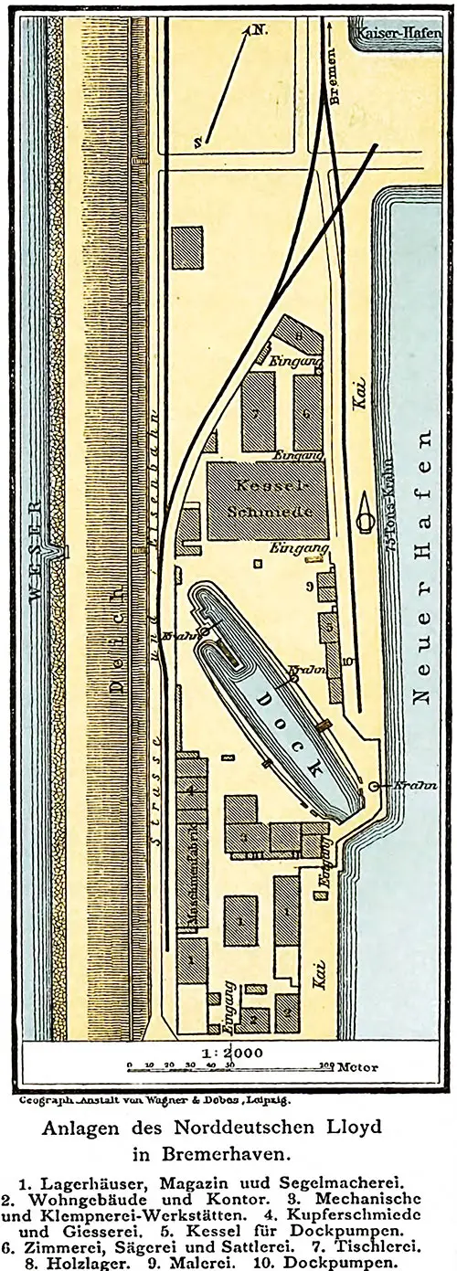
Map of Norddeutscher Lloyd Facilities at Bremerhaven. Der Norddeutsche Lloyd, 1892. | GGA Image ID # 215f9c4e21
Map of Bremen Harbor, 1892. Der Norddeutsche Lloyd, 1892. | GGA Image ID # 215fbbc23c. Click to View Larger Image.
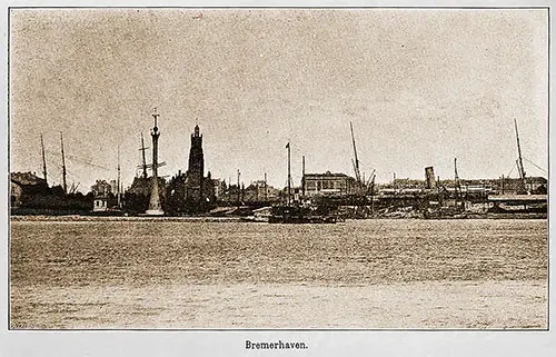
The Port of Bremerhaven, 1892. Der Norddeutsche Lloyd, 1892. | GGA Image ID # 21600d4e67
Bibliography
Presbrey, Frank, "Approach to Bremerhaven," in Presbrey's Information Guide for Transatlantic Travelers, Seventh Edition, New York: Frank Presbrey Co., 1911: P. 47-48.
"The Docks of Bremerhaven," in the North German Lloyd Bulletin, New York: Oelrichs & Co., Vol. XIX, No. 1, January 1905, p. 9.

